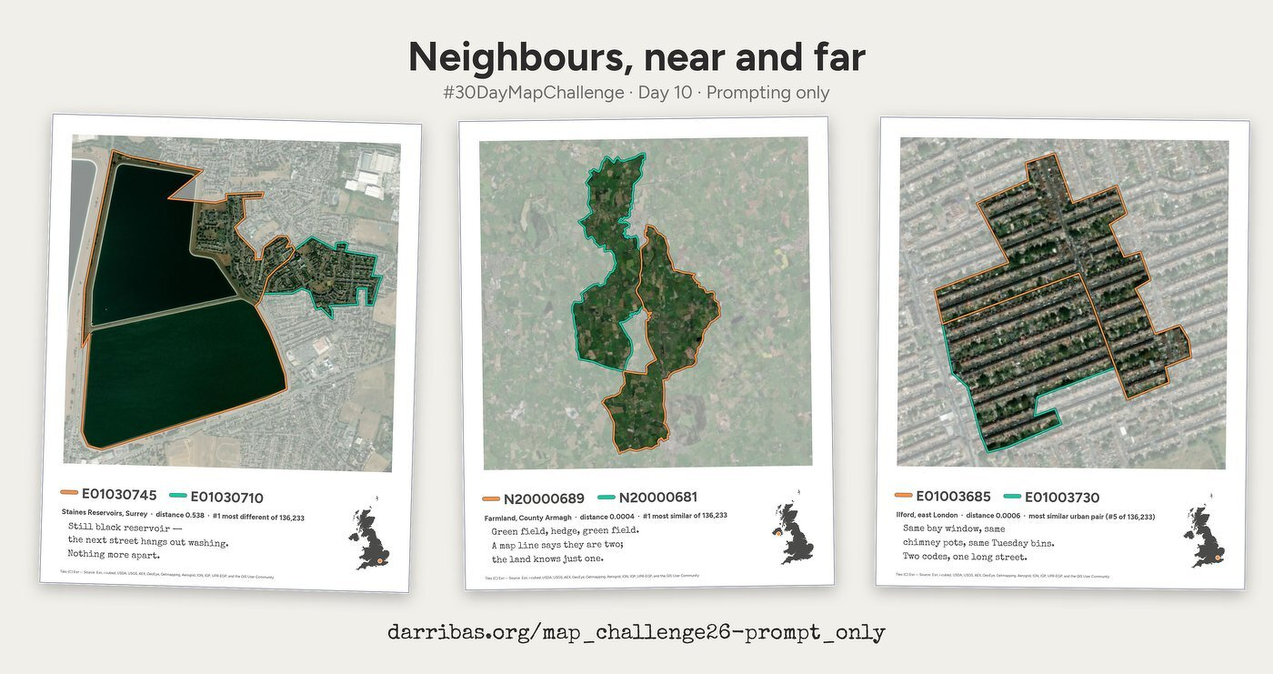
Here’s my contribution for the Geographic Data Science Lab #30DayMapChallenge. It started very very simple (“can I find the most different neighbors in the UK?"), and over the course of a couple of days “chatting” in between meetings, evolved into this.
I think the more interesting part is that process, more than the final outcome, and you can explore that on the page it put together:
That and, of course, the haikus it cracked to describe each of the images. Just because it can :-)